The forecast, which is the type of bulletin meteorologists slip into the rotation when something unusual is brewing, arrived quietly on Sunday afternoon. The National Weather Service escalated it by Monday morning. Weather advisories, watches, and winter storm warnings are piled up on a map that ought to be getting greener by any reasonable reading of the calendar.
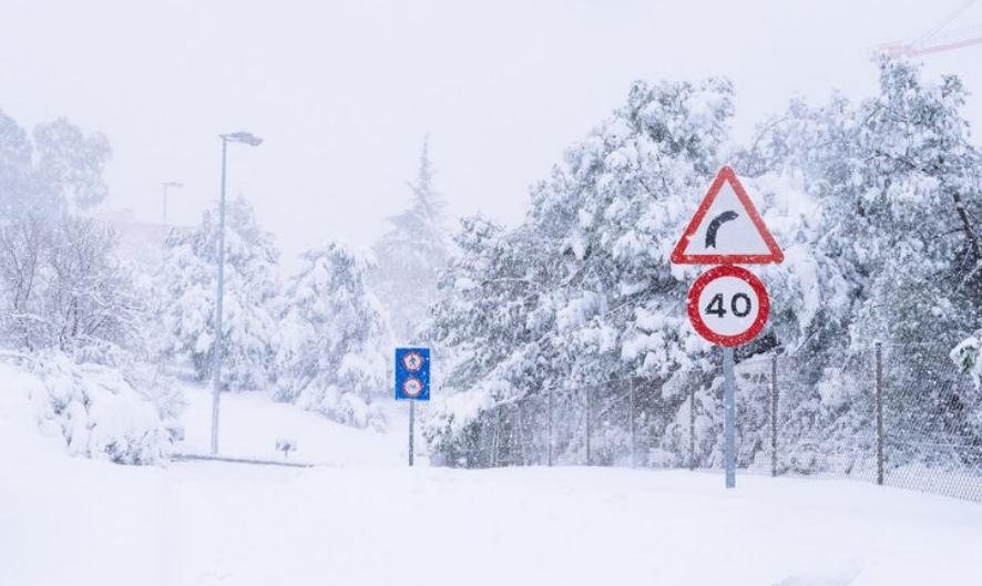
May is here. That’s the part that consistently surprises people. In towns close to Red Feather Lakes and Estes Park, snowplows that were put away last month are being brought back out, and ski resort employees who had already begun counting down to summer operations are watching the radar with a kind of weary amusement. Above 8,000 feet, especially in the higher parts of the Front Range, two feet of snow may fall. The unusually straightforward watch language in Summit County warns that a lot of snow could build up on powerlines and tree branches, potentially breaking them.
| Detail | Information |
|---|---|
| Storm Name | Late-Season Western U.S. Winter Storm |
| Active Period | Monday night, May 4 through Wednesday, May 6, 2026 |
| Peak Impact Window | Tuesday night into Wednesday morning |
| Regions Affected | Northern Sierra, Lake Tahoe, Mono County, Colorado Rockies, Wyoming |
| Maximum Snowfall Forecast | Up to 48 inches (Northern Sierra) |
| Colorado Snowfall Estimate | 18–24 inches above 8,000 feet |
| Issuing Agency | National Weather Service |
| Primary Hazards | Power outages, downed trees, hazardous travel on I-25 and I-80 |
| Affected Highways | Interstate 25, Interstate 80 |
| Wind Gusts | Up to 60 mph |
Speaking with anyone who lives along the I-25 corridor gives the impression that this is more inconvenient than shocking. May snow is familiar to Coloradans. Oldtimers in the state will tell you about Mother’s Day storms that buried tulips. Forecasters are hesitant, though, because of this scale and the sheer amount of water that is on the horizon. Skiers chase dry powder, but wet snow is heavier. It clings, snaps power lines that made it through the actual winter, and weighs down branches that are still leafing out.
The path of the storm reveals its own narrative. With totals that could surpass four feet in areas like Mono County and the vicinity of Lake Tahoe, it began in the Pacific, slammed the Sierra Nevada, and is currently moving east. The heaviest bands start turning into the Colorado Rockies by Tuesday night. Anyone east of the Front Range will find some solace in the fact that the system will weaken as it moves, but the current forecast still calls for congested commutes on Tuesday night and Wednesday morning, as well as the kind of slush that makes short drives difficult.
This week is peculiar because of the larger pattern that surrounds it. For weeks, AccuWeather’s long-range team has been discussing the aftereffects of the spring polar vortex displacement and the perception that the jet stream is still buckled, allowing waves of cold Canadian air to flow south. It’s not the terrible mid-April Arctic outbreak. However, it’s enough to make apple growers anxious, and gardeners check the forecast twice a day.
If you’re a Colorado water manager or a snowpack scientist, there’s something almost comforting about a May snowstorm. For a season that had been at an all-time low, Powderchasers were already referring to it as a “Miracle May” boost. Naturally, there are drawbacks to this type of late moisture, such as strings attached, broken branches, dark houses, and stranded drivers between Denver and Cheyenne who are perplexed as to how spring came so quickly.
It’s difficult to ignore the rhythm of this as you watch it happen. The Sierra is fed by the Pacific. Colorado receives the storm from the Sierra. Colorado braces. And somewhere beneath it all, the snowpack begins to rise again, subtly arguing that winter isn’t quite ready to end, at least not this year.